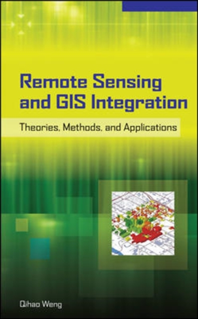
Publisher's Note: Products purchased from Third Party sellers are not guaranteed by the publisher for quality, authenticity, or access to any online entitlements included with the product.Maximize a geographical information tool by incorporating it with up-to-date remotely sensed dataGIS is predominantly a data-handling technology, while remote sensing is a data retrieval and analysis technology. This book addresses the need to combine remotely sensed data with cartographic, socioeconomic, and environmental data and GIS functionalities.Remote Sensing and GIS Integration begins with theoretical discussions, followed by a series of application areas in urban and environmental studies that employ the integration of remote sensing and GIS. Each application area is examined through analysis of state-of-the-art methods and detailed presentations of one or more case studies.
Get Remote Sensing and GIS Integration: Theories, Methods, and Applications by at the best price and quality guranteed only at Werezi Africa largest book ecommerce store. The book was published by and it has pages. Enjoy Shopping Best Offers & Deals on books Online from Werezi - Receive at your doorstep - Fast Delivery - Secure mode of Payment
Digital Rights Management (DRM)
The publisher has supplied this book in encrypted form, which means that you need to install free software in order to unlock and read it.
Required software
To read this ebook on a mobile device (phone or tablet) you'll need to install one of these free apps:
To download and read this eBook on a PC or Mac:
-
Adobe Digital Editions
(This is a free app specially developed for eBooks. It's not the same as Adobe Reader, which you probably already have on your computer.)